
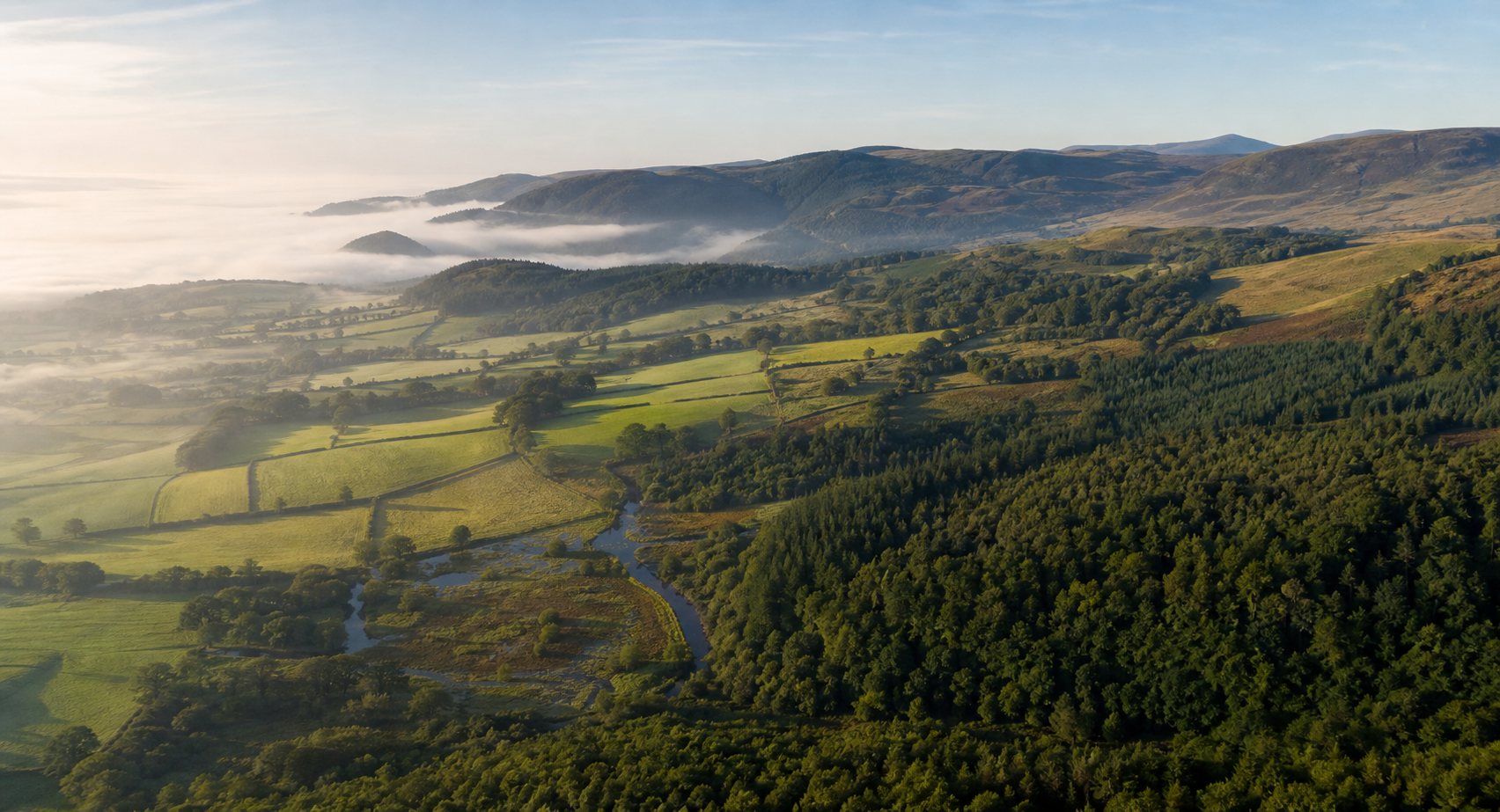
See what is establishing—and where to look closer.
SilvaSense™ turns drone imagery, site boundaries and field checks into mapped tree detections, stocking information and evidence that can be reviewed, reported and taken into existing GIS workflows.
- Check establishment and stocking
- Find gaps and uneven areas
- Export GIS layers and KML for existing tools